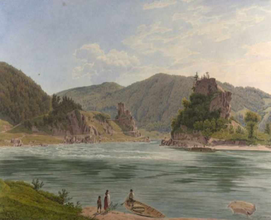
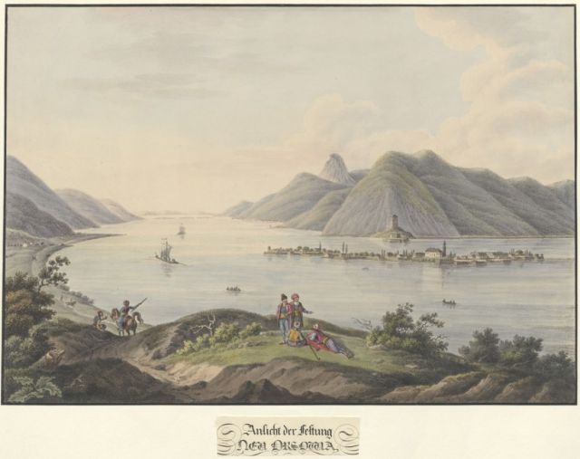
For centuries, the Danube was an untamed natural space. The river and its banks obeyed the dynamics of water and the changing seasons, occasionally flooding several times a year. This did not change until the 19th century when the Habsburg Monarchy set itself the task of taming the river and thus opening up a huge economic and cultural area.
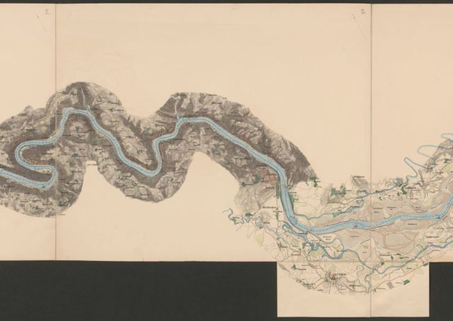
In 1857, the Imperial-Royal State Ministry began this by publishing a map, showing an extremely precise image of the Danube in the territory of the Habsburg Monarchy from Passau to the Iron Gate.
The map was named after the hydro-technician and court official Florian Pasetti, who was responsible for the publication.
Its purpose was to create public awareness of the political and economic importance of this waterway for the entire Austro-Hungarian Empire.
In 1870, the regulation work of the Danube began in Vienna. The river soon became a major waterway connecting the various countries of the multi-ethnic empire.
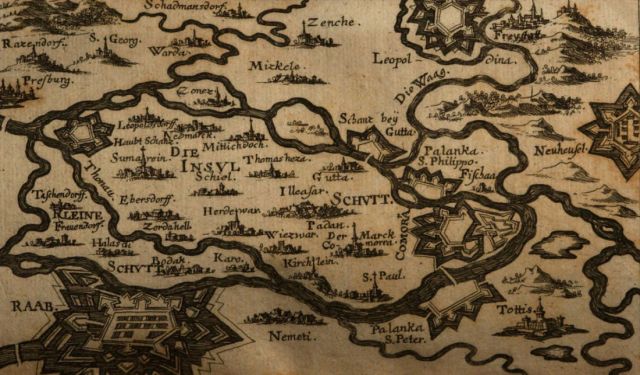
Cartographers and scholars have been attracted by the Danube region for centuries. In his book on the Kingdom of Hungary, Totius Regni Hungariae superioris et inferioris accurata descriptio, published in 1686, Georg Krekwitz describes cities along the Danube from Donaueschingen to Constantinople. His map of the island of Žitný ostrov (Great Rye Island) with the fortified cities of Bratislava, Leopoldov, Györ and Komárno depicts the biggest river island in Europe.
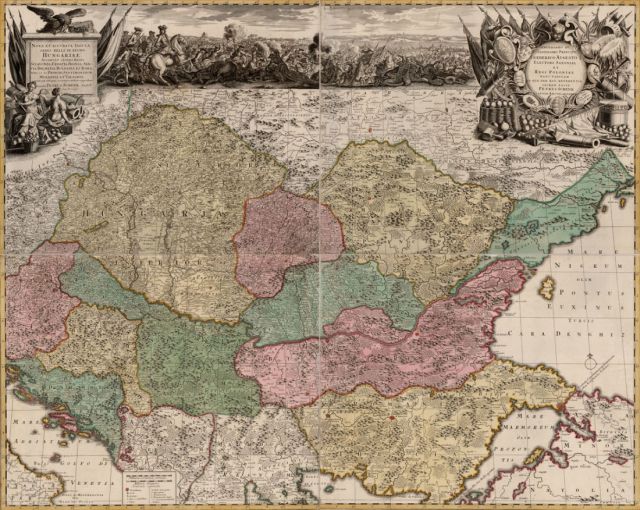
The lower parts of the Danube, Hungary and the Balkans are depicted in the map Nova et accurata tabula sedis belli in regno Hungariae.
This map is one of several beautiful cartographic representations of the Danube region made during the Christian-Ottoman battles of the 17th and 18th centuries.
It was published in 1717 by the German engraver and map publisher Petrus Schenk (1660 – 1711), who was born in Elberfeld (Wuppertal) and moved to Amsterdam in 1675. He became a famous engraver and map-seller with stores in Amsterdam and Leipzig.
Historic cartographic representations of territories include principal waterways, depictions of cities and ethnographic or historical information.
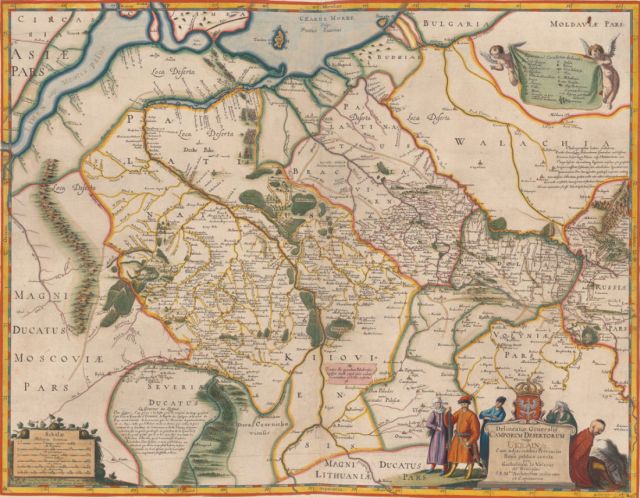
A series of maps of Ukraine created from the mid to the late 17th century by Guillaume Le Vasseur de Beauplan (c. 1600 – 1673), a French-Polish cartographer, engineer and architect, is no exception.
In 1639, Beauplan created the first 'descriptive' map of Ukraine. Thanks to Beauplan, the term Ukraine or The Land of Kazaks had been firmly fixed in European cartography. In the 17th and 18th centuries, the maps of Beauplan were widely used by European cartographers to depict the Ukrainian territories, including cities like Reni, Ismail and Kilia located at the river Danube.
His map of 1648, shown here, includes detailed border information, including Tatar routes and fortifications.